 vesseltracker.com
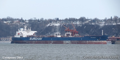
Vessel CAP CHARLES IMO: 9321706, MMSI: 636020911 Crude Oil Tanker
Live AIS position:
UTC. 42 nm NE of Ras Al Khair),
updated 2025-10-09 12:21:37 UTC.
Find the position of the vessel CAP CHARLES on the map. The latter are known coordinates and path.
marine traffic ship tracker show on live map
The current position of vessel CAP CHARLES is 28.15645 lat / 49.55950 lng. Updated: 2025-10-09 12:21:37 UTCCurrently sailing under the flag of Liberia
CAP CHARLES built in 2006 year
Deadweight:
158880 tDetails:
Last coordinates of the vessel:
2025-10-09 12:21:37 UTC, 28.15645, 49.55950, course: 155, speed: 0.9